


We departed at 8.51am (including a folded up toilet tent – first go) a record early start. Through flat farming country alongside the Darling river, we have taken the north road – as a bloke yesterday indicated it was better road.
Quite a few wheel ruts and washouts
from the earlier rain, making for a reasonably slow trip.
We noticed lots of
little ‘levees’ had been scraped across the landscape following contours, we
pondered if it was to slow water down when in flood, to trap water???? Crossing
a grid, an old local bloke, pulled to a stop to alert us to water over the road
and advised to go straight up the middle and go slow. Dad asked him about the
contouring, he told us they had 4 inches a month ago, the levees are an attempt
to reclaim salt pans, they build the levee ‘throw some saltbush in.’ It really
does work, as there is growth inside the levees, and you can see salt pans in
some of the area around. Funny he also indicated they were buggers for him, as
he has to go over them on the motorbike, but the old man reckons it’s a good
idea – the strange thing was he was no spring chicken with a grey beard down to
his chest and he must still work with/for his Dad. He also told us that he had to walk to the
shed to get the bike out, as it was too muddy to drive in, ‘he has tools and
stuff, stuck all over the place’ due to the rains.
Stopped at the Tilpa Pub for a coffee and a look – another
slice of outback character, the corrugated iron building is covered in ‘graffiti’ people can write their name on the wall for a
$2 donation to the RFDS. Also did the shortest heritage walk in the world – two
signs – one outlining the history of the pub, the other just up the road
telling the tale of Tom Johnstone – an old bloke working the paddleboats.


On from Tilpa along more rutted, red road, someone has
driven on this track when it was too wet to do so, created a mess.
I tried to capture some of the ‘sights’ along the way.
Various mailboxes, station signs, wildlife, emus, kangaroos. Unfortunately I was too slow to catch the Red Tailed Black Cockatoos, they were stunning - black and red.


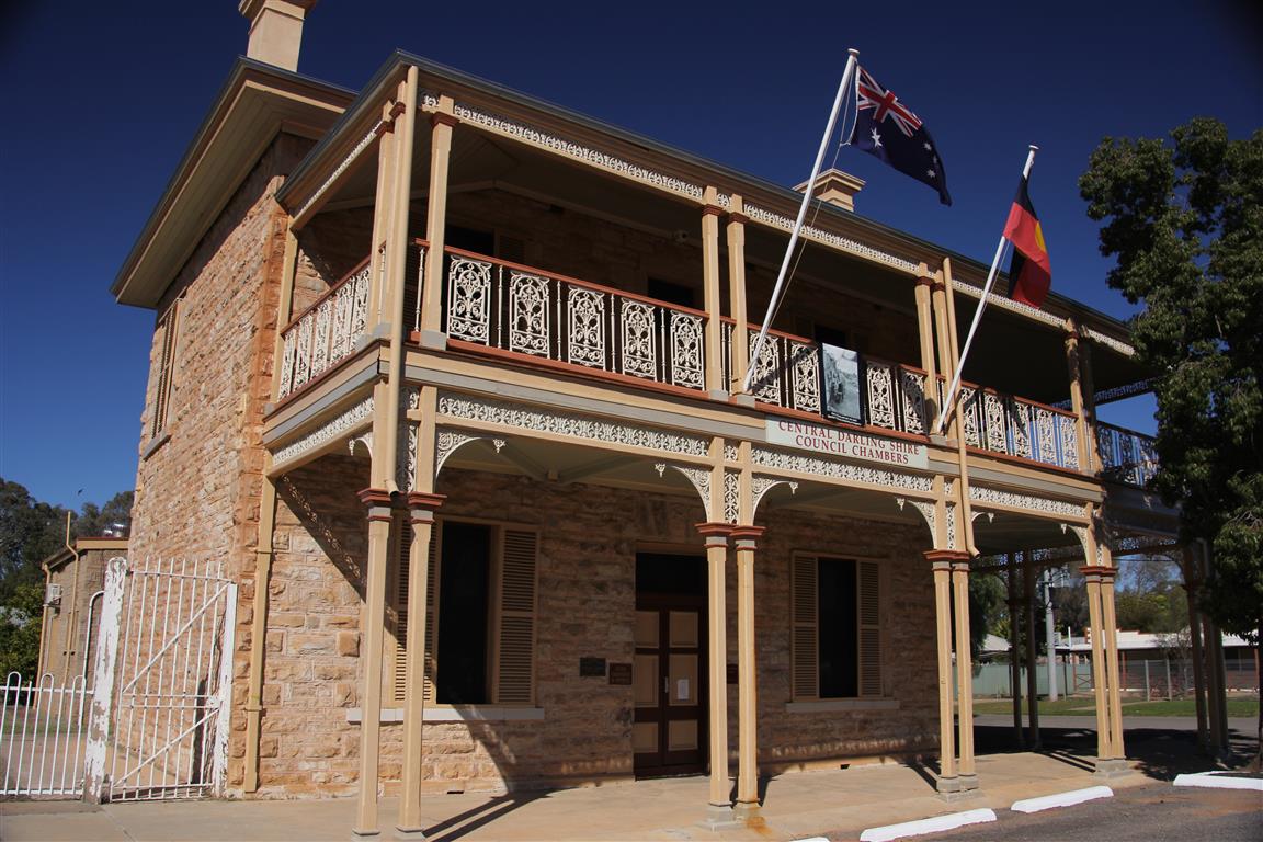
We arrived in Wilcannia about 12.30, had a bit of a tour
around, some beautiful old sandstone buildings, fuelled up again and headed on
towards Ivanhoe.


A very quick lunchstop off the Cobb Highway – which had
quickly turned back from blacktop to more gravel and dirt.
Somewhere along the road, we were surprised to find Manara Hills, which literally popped up on the flat floodplains.


Entering Ivanhoe, they were lifting some new buildings onto
the Healthcare site, so we watched a huge crane manoeuvre the building up over
a fence between trees and onto site.


We phoned ahead to Hay to see if there was
any cabin accommodation, yep there was, so we decided to head here tonight and
have a look around tomorrow.
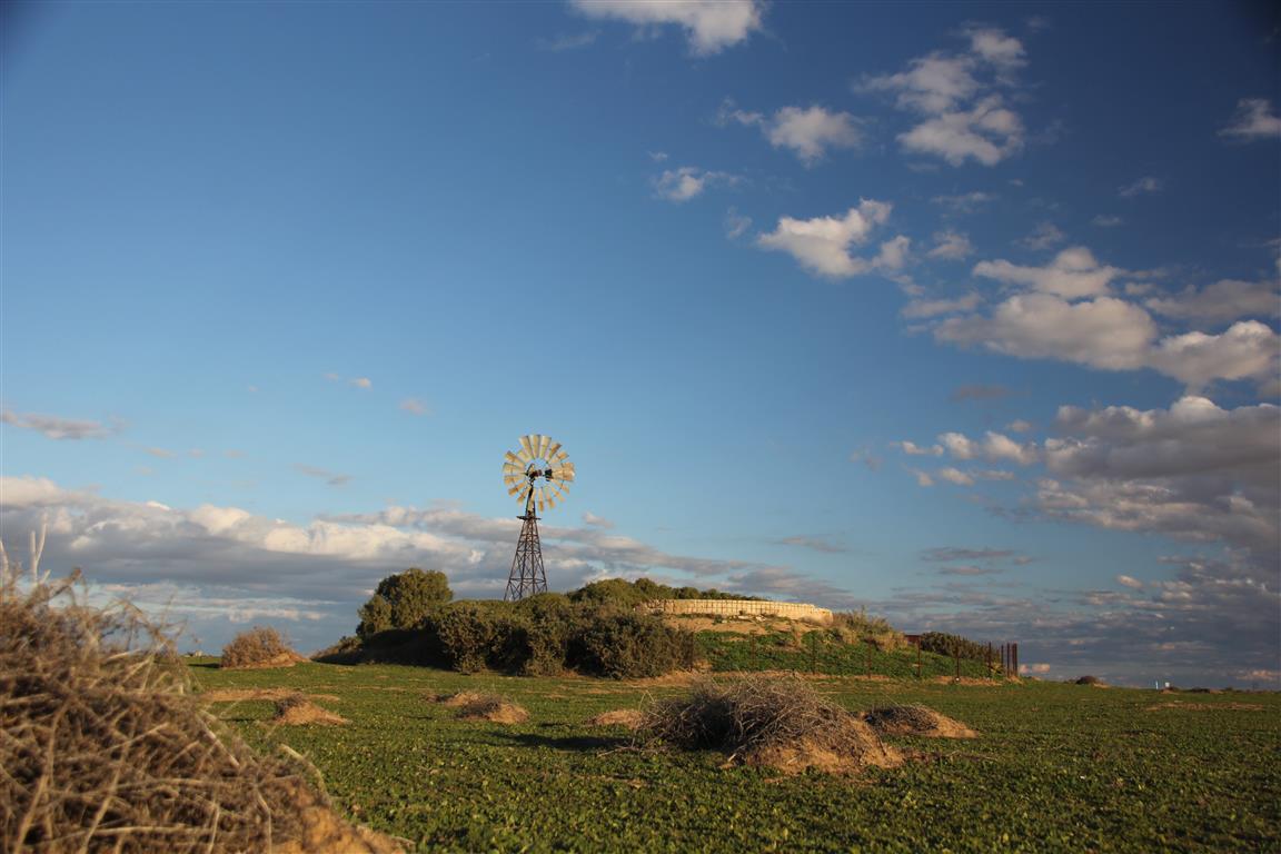
Motoring along the highway I saw a windmill with clouds that
took my eye, so did a quick turn in to take
a few pics.


This meant travelling into the evening so very much watching
for roos, the sunset on the flat plains was a really good one, so a few shots
of that too.


By the way, for such a notorious stretch of Highway for Roos, we didn't see any roadkill and certainly no roos in the headlights or crossing in front of us. Glad to arrive safely at Hay, for a shower and take away dinner, before sorting photos and blogging. Tomorrow we will look around Hay - they have 5 museums, so possibly "shear outback" and "Dunera Museum" then home to Dads to unpack, pack and get ready to head for Moe on Saturday.
Wishing you a safe final leg of your travels!
ReplyDeleteThanks Sandra...next stop Moe and before we know it NY, NY.
Delete